
Interactive Maps
 |
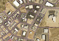
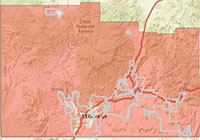
Washington County GIS Viewer Web Mapping Application A comprehensive collection of data and tools for Washington County. |
|---|---|
 |
Recorder’s Office Viewer Web Mapping Application Property and owner information, reports and mailing labels. |
 |
Assessor Record Search Viewer Web Mapping Application Property reports, images, and sketches. |
 |
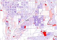
Community Development Viewer Web Mapping Application Zoning and General Plan information. |
 |
Public Works Viewer Web Mapping Application County Roads and Infrastructure Assets. |
 |
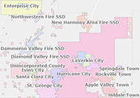
Election Map Viewer Web Mapping Application Search for Voting Precincts. |
 |
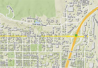
Aerial Photo Viewer Web Mapping Application View and compare two different dates of aerial imagery using a “swipe” tool. |
 |
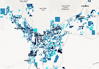
Recreation Map Viewer Web Mapping Application Search for Parks, Golf, Hiking, Biking & Equestrian Trails, Cycling, and OHV Routes throughout Washington County. |
 |
Property Valuation and Tax Changes Web Mapping Application View a heat map of property valuation and tax changes based on property value and location. |
 |
Property Tax Estimate Web Mapping Application Estimate your property taxes based on property value and location. |
 |
Property Watch Web Mapping Application Sign up to keep track of any recorded changes on your property. |
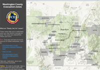 |
Evacuation Zones Web Mapping Application Want to know if you need to evacuate? You can use these pre-identified zones to see what condition your address is in. |
 |
Fireworks Restrictions Web Mapping Application Find which areas are restricted from firework usage. |
 |
Washington County Development: Illustrated Animated parcel growth in Washington County. |
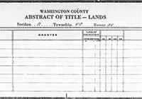 |
Old Abstract (1854 – 1992) Web Document Viewer Search and view historical abstract of property titles. |
 |
Ownership Plat Maps Web Document Viewer Search and view historical ownership maps by year, delineated by tax parcel numbers and property lines. |
Downloadable Maps
 |
Washington County Basemap PDF (34″x42″) |
|---|---|
 |
Washington County Street Map PDF (60″x78″) |
 |
Washington County General Plan PDF (34″x42″) |
 |
St. George Area Subdivisions PDF (42″x60″) |
 |
Washington County Zoning PDF (34″x42″) |
 |
Voting Precinct Maps PDF (17″x22″) |